
Work a Lino Lakes Street Address
The Lino Lakes street directory begins with the parcel, not a broad name search. The city’s property-information page directs address researchers to Anoka County tools. First use the exact street number and name in GIS. Then keep the parcel identifier, physical address, and legal description together before moving to ownership or historical records. That sequence prevents a tax mailing address, a map label, or a deed party from being treated as a current occupant.
- Enter the address in Anoka County GIS. The official SearchTips say to omit the city and punctuation. If results multiply, select the address result and zoom to its parcel outline.
- Save the PIN, situs address, plat or section context, and the search date. Check Anoka County Property Information for the assessment, tax, sales, and related property route.
- Use the legal description and parcel context to search recorded parties. A deed is evidence of a recorded interest, not proof of day-to-day presence at the address.
- For a known person at a known address, use MNVotes with all required fields. It confirms an address-specific registration result only.
- For earlier clues, compare dated telephone listings, maps, newspapers, and deed dates. Keep subscriber, owner, applicant, and recorded-party roles separate.
Note: A full street search should be divided by intersections, plat, PIN range, or postal area so an address is not assumed to fall inside Lino Lakes.
Lino Lakes Street Directory GIS Fields
The county’s GIS guide supplies the verified search controls for a Lino Lakes street directory search. Address Search accepts a house number, street, or partial street. Parcel ID searches accept either hyphenated or unhyphenated formats. Multi-unit addresses, plats, and half sections have their own modes. These fields locate spatial records; they do not turn GIS into an owner-name or street-wide resident index.
| GIS field | Input type | When used | Verified format or result |
|---|---|---|---|
| Search category | Dropdown | Choose the record key | All, parcel ID, address, multi-unit, plat, half section, school, or public building. |
| Address | Text | Street and number lookup | House number, street, or partial street. Do not add city or punctuation. |
| Parcel ID | Text | Resolve an ambiguous address | With hyphens, such as 06-31-24-33-0108, or without them. |
| Plat | Text | Older legal or subdivision references | CIC, condo, AUD SUB, RLS, and ROW formats are shown in the guide. |
| Half section | Text | Section-township-range context | N-13-30-24 or S-13-30-24 style. |
The GIS guide also lists a search-result zoom, map measurement, labels, current and historical aerials, plats, and half sections. It does not expose a ZIP search category, so ZIP filtering is not confirmed in GIS. Exact imagery years and export behavior were not located in stable official material, so a live map result should be labeled by its inspection date.
Read Lino Lakes Street Keys
Four address keys answer different questions in Lino Lakes. Using them together makes the street directory more reliable when parcels split, merge, use a unit number, or appear in an older plat under a description that does not resemble today’s street name.
- Parcel or PIN
- The county parcel identifier. It is a strong map and property-card key, but it can change after a split or merger.
- Situs address
- The physical location used for GIS, building files, and address-specific registration checks. It can differ from a tax mailing address.
- Plat
- A recorded subdivision or boundary reference. Plat labels and half-section tools can translate an older land description.
- Legal description
- The lot, tract, block, metes-and-bounds, CIC, or Torrens wording in a recorded instrument. It is the stronger deed-chain anchor when a street number changes.
A mailing address can point to an owner’s correspondence location. It does not establish that the addressee resides at the situs. For a recorded chain, preserve both the PIN and the legal description rather than relying on a street label alone.
Lino Lakes Property Access Limits
Anoka County Property Access is the county route for tax, assessment, sales, and other property information. The research did not verify its live field labels, whether it currently offers owner-name, address, PIN, or document-number modes, or every parcel-card field. That limitation matters. Use the portal to inspect the rendered record, then describe only fields visible in that live result.
Property Access and GIS do complementary work. GIS supplies the parcel’s spatial position, outline, and plat context. Property Access is the assessment and sales-card route. Neither result alone proves current occupancy. When a street result contains more than one parcel, retain each response and determine whether it represents a unit, common area, split parcel, public building, or unresolved match.
For an address research note, preserve the search input and date alongside the returned parcel key. Current assessment or sales information is a time-labeled property snapshot. It should not be used to fill gaps in a historic address trail or to turn a mailing record into a claim about who lives there.
Map Layers Along Lino Lakes Streets
GIS layers help explain why one Lino Lakes GIS query may return more than a simple house number. Parcel outlines, neighboring parcels, plats, half sections, aerial imagery, mailing-label tools, and measurements can show the spatial setting. The map still needs a separate property card for assessment information and a recorded instrument for a legal transfer.
The county’s Land Records and Recording page is the official starting point for the documents behind the parcel trail.
The land-record route separates a spatial address match from the recorder’s permanent archive of documents such as deeds, mortgages, satisfactions, plats, and surveys.
For a long corridor, save the map scale, the visible road or water boundary, and the exact street spelling. Lake Drive, Hodgson Road, County Road J/Ash Street, Lilac Street, Peltier Lake, and Rice Creek Marsh are useful geographic anchors when an older map or notice uses a crossroads, lake, or plat rather than a current street number.
Trace Lino Lakes Street Deeds
A street directory can follow a parcel backward only by keeping the legal description in view. Search the current parcel or description through the county’s recorded-party service, identify the most recent instrument, then work to the prior grantor or grantee. Record the party role, instrument type, recorded date, execution date if displayed, document number or book-page placement, and image or copy route. Search names in both roles because a chain can involve trusts, estates, lenders, spouses, or other parties.
The county’s Recorded Document Access page describes grantor/grantee searching and recorded plat or survey access.
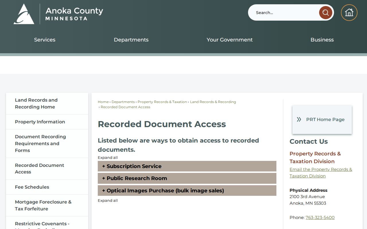
When an online result or image is unavailable, Room 119 at the Anoka County Government Center provides public real-estate and tract-record terminals on weekdays from 8:00 to 4:30, excluding holidays. The county has not published a verified online-index start year, so Room 119 is the sound fallback for older material.
Lino Lakes Address Record Coverage
Address-keyed sources preserve different kinds of evidence. The following Lino Lakes address-record table shows what each source can support without collapsing an owner, subscriber, applicant, or registered voter into the same category.
| Address source | Custodian | Street-level clue | Access route |
|---|---|---|---|
| Property Access | Anoka County | Current tax, assessment, sales, and related property information | County portal, property office, or public-data request. |
| GIS | Anoka County | Address, PIN, parcel geometry, adjacent parcels, plat, and aerial context | Free county viewer and SearchTips guide. |
| Recorded instruments | Property Records & Taxation / Land Records | Grantor/grantee roles, deeds, mortgages, satisfactions, plats, and surveys | Access page, subscription service, or Room 119 terminal. |
| Building and planning files | City of Lino Lakes | Permit, inspection, site, or subdivision context | Request existing files by address, PIN, and date range. |
| MNVotes | Minnesota Secretary of State | Registration status for a supplied person and address | Address-based form, not a street roster. |
| Telephone volumes and maps | MNHS and ACHS | Dated subscriber, household, map, or plat clue | Historical collection and research-room channels. |
A city file can bracket construction or land-use activity, while a recorder entry can document a transfer. Neither source establishes every person who may have been at an address. The strongest result labels the record type, source date, and the limited fact it actually supports.
Confirm a Lino Lakes Street Registration
MNVotes is useful only for an address-specific registration check. It requires first name, last name, date of birth, a ZIP or county mode, house number, and a selected street. A unit number becomes required when the apartment or unit option is selected. Its records update nightly, although election officials may take up to 14 days to update a registration.
MNVotes is not a block roster and does not offer public name-only browsing. A ZIP-mode result does not establish that a person occupies an address apart from the registration match. Public voter information lists are governed by Minn. Stat. §201.091, and their permitted use is limited to elections, political activities, or law enforcement. For corrections or a lawful list request, contact Anoka County Elections rather than trying to build an open-ended street list.
Note: A voter result should be recorded as an address-specific registration confirmation, not as ownership, household membership, or continuous residence.
Lino Lakes Street File Clues
Municipal files can add a date and a project context to a Lino Lakes address search. The city’s inspection materials describe advance notice and stages such as footings, foundation, wall, plumbing, heating, and framing. A permit or inspection card can help bracket construction or alteration. It does not prove that the applicant lived at the property.
The county’s Document Recording Requirements page explains why a complete legal description matters in the next step.
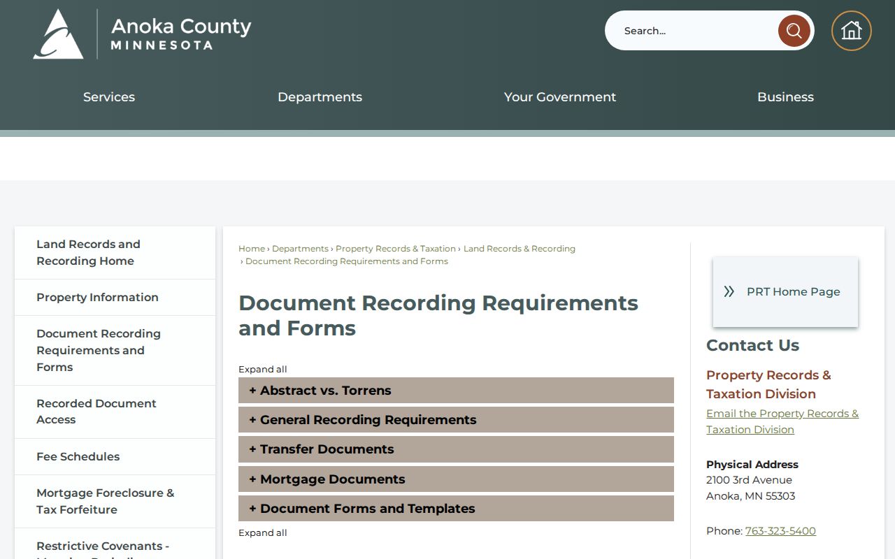
A recorded document must identify the relevant land description and follow the county’s recording rules. That makes the description a better chain key than an address label when subdivision work, a new plat, or a parcel change alters the way a street location is described.
Lino Lakes Street History Gaps
Older street work often shifts between record languages. Anoka County Historical Society holdings include ownership plats from 1888, 1914, and 1932, maps from the 1850s forward, and newspapers from 1863. MNHS lists Lino Lakes telephone material from 1960 through 2011 with gaps. The county has not located a verified Lino Lakes street-renumbering table, a complete public city-directory series, or a published web-index cutoff for deeds.
When a modern address fails, use GIS Plat Boundaries or Half Sections, compare a historical plat, and preserve the street, cross-street, lake, road, or tract wording found in the source. The historical route can identify a listed subscriber or earlier geography, but it should not be recast as a complete list of everyone on the street.
Lino Lakes Street Directory Limits
No official source located for Lino Lakes is a citywide resident-name directory. GIS is parcel and address oriented, Property Access is a property-information route, recorder records show documented party roles, and older telephone volumes have gaps. Safe at Home and other protected data classifications also limit what may be publicly available. A clean result may still be incomplete, dated, or tied to the wrong record role.
Verify an uncertain document, address, or data classification with the county or city custodian before treating an incomplete portal result as final.
Lawful personal use. Use Lino Lakes street and address records only for a legitimate, lawful purpose. Do not use a result to stalk, harass, intimidate, or endanger anyone, and respect protected address data.