
Lino Lakes Neighbors Block Source Coverage
The immediate block is a spatial question first. Anoka GIS shows parcel geometry, addresses, PINs, plats, and the nearby physical boundary. Property Access supplies the separate county assessment and sales-card route. Recorded documents can identify legal parties over time. Other sources have narrower uses, such as checking a submitted registration or locating a dated telephone listing. None is an official Lino Lakes neighborhood roster, and the useful result is often a set of labeled parcel notes rather than a list of people.
| Source | What It Shows About a Block | Access |
|---|---|---|
| Anoka GIS | Touching parcel lines, PINs, situs addresses, plat and aerial context, and map layers. | Free county viewer. |
| Property Access | The county's separate owner, assessment, tax, and sales-card route for each selected parcel. | Online property route, counter, or data request. |
| Recorder index | Recorded grantor, grantee, mortgage, satisfaction, and other instrument roles for a selected parcel. | County service and Room 119 public terminals. |
| MNVotes | A known person's registration status at one supplied address. | Address-specific form; no public block lookup. |
| Planning and building files | Subdivision, plat, site-plan, variance, permit, or inspection context tied to an address or parcel. | City office, online material, or data request. |
| Telephone books and ACHS sources | Dated subscriber, newspaper, map, plat, and civic clues for a historical block. | MNHS, ACHS, library, or research request. |
Ownership and occupancy are different claims. A parcel card may name an owner or assessment party, while a different tax mailing address may be only a delivery address. A recorded deed party, a historical subscriber, and a registration result each have their own date and limitation. Preserve those labels rather than combining them into a claim about who lives on the block today.
Map Touching Parcels for Lino Lakes Neighbors
Use the Anoka GIS viewer to center the selected address, then assess the parcel geometry before collecting any person-related field. In this method, adjacent means a parcel boundary actually touches the central parcel. It does not mean the closest house on the screen, the same street name, or a parcel behind a water feature. A map at broad scale can make a right-of-way, common area, marsh, or lake edge look like a direct connection when it is not.
- Choose Address Search and enter the house number and street. The county guide says not to add a city name or punctuation. If needed, use the full street first, then a partial street only to resolve a result.
- Click the returned address to zoom, save the search date, and note the central PIN, situs address, outline, and visible plat or section context.
- Inspect each polygon that touches by side or corner. Record whether the connection is direct, a corner contact, a shared alley or right-of-way edge, water-separated, common-area separated, or unresolved at the displayed scale.
- Open the separate Property Access route for each recorded PIN or address. Keep parcel-card information at the PIN level and use the Recorder only when a legal-party history is needed.
Corner parcels require all street frontages and the legal outline to be checked. Across a public road, water, marsh, highway, rail corridor, or unbuildable tract, a parcel can be visually close without touching. A multi-unit or common-area result also needs its own PIN-level note. These distinctions make the Lino Lakes neighbors workflow about land boundaries, not guesses based on map proximity. For a full named-street record chain, the Lino Lakes street directory provides the broader address workflow.
Lino Lakes Neighbors GIS Search Fields
The county's SearchTips guide confirms the fields that support a block map. Its category menu includes All, Parcel ID with or without hyphens, Address Search, Multi-Units Address Search, Plat Boundaries, Half Sections, Schools, and Public Buildings. The address field accepts a house number, street, or partial street. A PIN can be entered as 06-31-24-33-0108 or as 063124330108. These search choices help resolve a parcel before the reader opens any other record.
| GIS category | Block-research use |
|---|---|
| Address or Multi-Units Address | Find the central address or distinguish unit-related map results. |
| Parcel ID | Return to the exact PIN after the map identifies it. |
| Plat Boundaries | Interpret a subdivision, condominium, auditor's subdivision, or right-of-way label. |
| Half Sections | Translate an older geographic description using the published north or south section format. |
| Aerials, labels, and measurement | Check spatial context and map scale without treating imagery as ownership evidence. |
The county advertises current and historical aerials, plats, half sections, mailing labels, measurement, and map-making tools. It did not publish stable imagery years, a full live parcel-card field list, or a ZIP category in the captured guidance. Do not infer a name, owner, or address history from the map alone. GIS establishes spatial context; the property card and recorded instrument answer different questions.
Lino Lakes Neighbors, Plats, and Subdivisions
City planning records can explain why a parcel block has a subdivision name, altered lot line, variance, site plan, or later development name. The planning route covers plats, subdivisions, site plans, rezoning, variances, conditional uses, and land-use records. Those files are useful when a legal description, plat label, or earlier map does not match a modern street presentation. They are not a substitute for the county title archive and should not be treated as proof of who occupies a parcel.
Lino Lakes City Planning is the official entry point for planning, zoning, plats, and subdivision information.
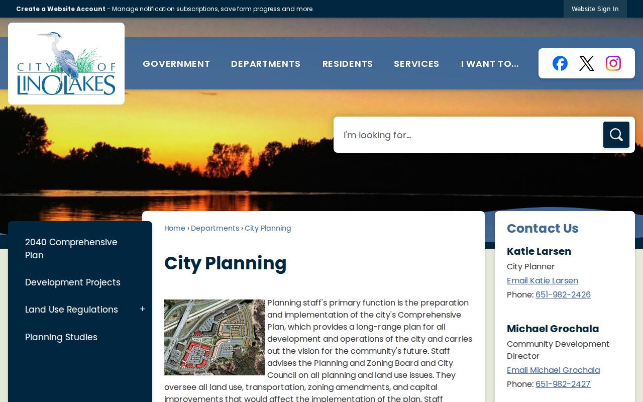
Use a planning file to place a parcel in its development context, then return to the PIN and legal description for the land-record chain.
City Planning
Plats, subdivisions, site plans, rezoning, variances, conditional uses, and land-use context. The research lists the planner at 651-982-2426.
Building Files
Address-keyed permit and inspection records can bracket construction or alteration. An applicant or permit holder is not necessarily an occupant.
County Recorder
The recorded-instrument route connects the legal description to party roles, document numbers, and dated conveyances.
Lino Lakes Neighbor Voter Boundaries
MNVotes cannot generate a block roster. It verifies a submitted name, DOB, and address combination one address at a time, with ZIP or county search mode. Its results are updated nightly, and election officials may take up to 14 days to update a registration. A match indicates a registration result for the supplied information. It does not prove ownership, establish every person at an address, or identify people at nearby parcels.
Minn. Stat. §201.091 controls the public voter-information list. The public list may include name, residence address, year of birth, voting history, phone number if provided, and districts, but it excludes full DOB and identifying numbers. Use of the list is limited to elections, political activities, or law enforcement. The Secretary of State form also requires certification from a registered Minnesota voter. Record the lawful purpose and the requested geography rather than treating a walking list as a general neighbor tool.
Lino Lakes Neighbor Civic Routes
No official Lino Lakes neighborhood-association or HOA umbrella directory was located. That is a real information gap, not a reason to make up an association list. The verified substitutes are the city's Night to Unite community process and planning materials, which can provide civic or development context but do not publish participant names. A city request may ask whether an existing public neighborhood-association or city-maintained civic-contact file exists, but it should not ask staff to create a new list.
The Lino Lakes Police Division page is a city route for police-record requests and directs requesters to contact staff, with the general data-request process as the fallback.
A request for an existing city record should identify the record and date range. It should not seek a personal block directory.
The Lino Lakes administration and clerk directory provides the city administration route for data-request intake and records routing.
City administration can route a request for existing public municipal material, subject to the Minnesota Government Data Practices Act and record classification.
Lino Lakes Neighbors Across Time
Historical block research should use time slices, not a single present-day map. Anoka County Historical Society has ownership plats for 1888, 1914, and 1932, newspapers and maps, and census material for 1857 through 1920. MNHS identifies Lino Lakes telephone-directory volumes from 1960 through 2011 with gaps. NARA individual federal census schedules are public through 1950. Each source can connect a tract, listing, household, or event to a date, but none is a complete census of the current block.
For each adjacent parcel, keep a year-and-source note. A 1932 plat may identify a tract owner, a telephone book may show one subscriber at an address, and a current parcel card may show a later county record. The same surname or street should be described precisely as a same tract, same address, same surname, or same recorded party. It does not demonstrate family continuity, present presence, or a relationship between people on neighboring parcels.
Official and Commercial Lino Lakes Neighbor Results
Official records are organized by custodian and purpose. GIS maps parcel geometry; county cards concern property information; Recorder indexes track legal-party instruments; MNVotes checks a known registration; and city files document municipal actions. Their limits are visible and can be checked with the responsible office. Commercial neighbor-lookup categories often combine copies from many sources, may be stale, and may not state the source date or role with enough detail to verify it.
Use an official result as the starting category, then verify a material claim with a second independent custodian. A commercial listing should never replace the county map, parcel card, deed, or city record. If a commercial copy contains incorrect information, use that company's stated review process. A government custodian can instead review the classification of its own record, but cannot necessarily remove a lawful public source because another service copied it.
Lino Lakes Neighbors Privacy Limits
Safe at Home is Minnesota's address-confidentiality program under chapter 5B. Participants receive a designated address, and covered government records protect their address data. Voter records have their own use limits, while court, vital, jail, and other systems each apply their own classifications. A protected or unavailable record is not evidence that a person is absent from a parcel or block. Do not publish unit-level names from an open-ended map search, and do not expose a designated address.
Minnesota Safe at Home explains the state's address-confidentiality program and its protected-address workflow.
The program is a reason to preserve a record gap instead of trying to fill it through broader searching.
Lawful use. Use Lino Lakes neighbor records for personal, lawful research and civic context. Do not use address or parcel details to monitor, harass, intimidate, or harm anyone.